
A beautiful hiking route runs between Preda, Bergün and Filisur right next to the Rhaetian Railway’s famous UNESCO World Heritage route.
The Railway Adventure Trail Albula is perfect for excursions with children and offers a unique interplay of nature and railway fascination. On three varied stages between the Albula Tunnel and the Landwasser Viaduct, you will gain fascinating insights into the day-to-day life of the Rhaetian Railway, technology, culture and the people of the Albula Valley.
Along the way, you can look forward to magnificent views, interesting information and a real Alpine experience. Pack your hiking boots – this trail will make you want to explore!
Stages on the Railway Adventure Trail Albula
Stage 1: Preda – Bergün
Stage 2: Bergün – Filisur
Stage 3: Filisur – Landwasser Viaduct – Filisur
Start
Preda (1,789 m above sea level)
Bergün (1,373 m above sea level)
Filisur (1,080 m above sea level)
Target
Bergün (1,373 m above sea level)
Filisur (1,080 m above sea level)
Filisur (1,080 m above sea level)
Hiking time
2h 15 min to 2h 45 min (indicative time)*
3h 15 min to 3h 45 min (indicative time)*
1h 30 min (indicative time)*
Ascent/descent
Approx. 60 / 480 metres
Approx. 250 / 540 metres
Approx. 200 / 200 metres
Distance
7.0 km
9.0 km
5.0 km
Characteristics
Mountain hike with medium degree of difficulty on well-surfaced but often narrow paths. Short, steep climb near the Rugnux helical tunnel.
Mountain hike with medium degree of difficulty, mainly on well-surfaced but often narrow paths. Steep descent from Stuls railway station to the trunk road. Bellaluna – Filisur section as an easy (T2) mountain hike.
Simple hike on well-surfaced paths.
The times indicated are pure walking times. If you stop along the way to read the information panels, you may need more time.
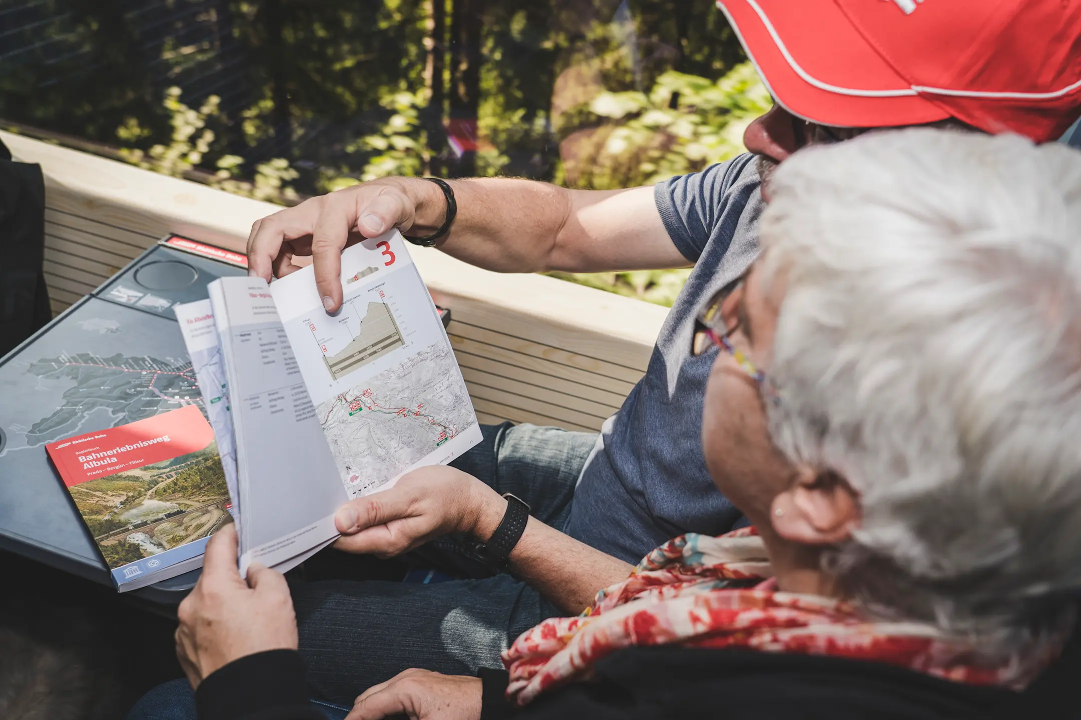
Railway Adventure Trail Albula Guidebook
For anyone wishing to find out more: the book on the Railway Adventure Trail Albula tells exciting stories about the Albula Line and the people in the valley. On 132 pages you will find impressive pictures, maps and graphics – both historical and current.